Chicago neighborhoods
Find your corner of Chicago.
Every neighborhood in the city on one live map. Match them to how you live, see how far each is from work, or ride the L from one to the next.
98 neighborhoods 20 guides 8 L lines
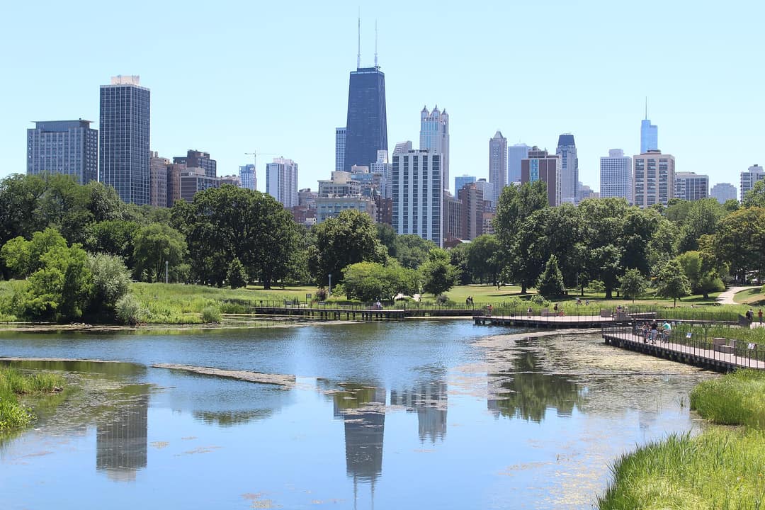 North SideLincoln ParkThe park, the zoo and blocks of brick and greystone.
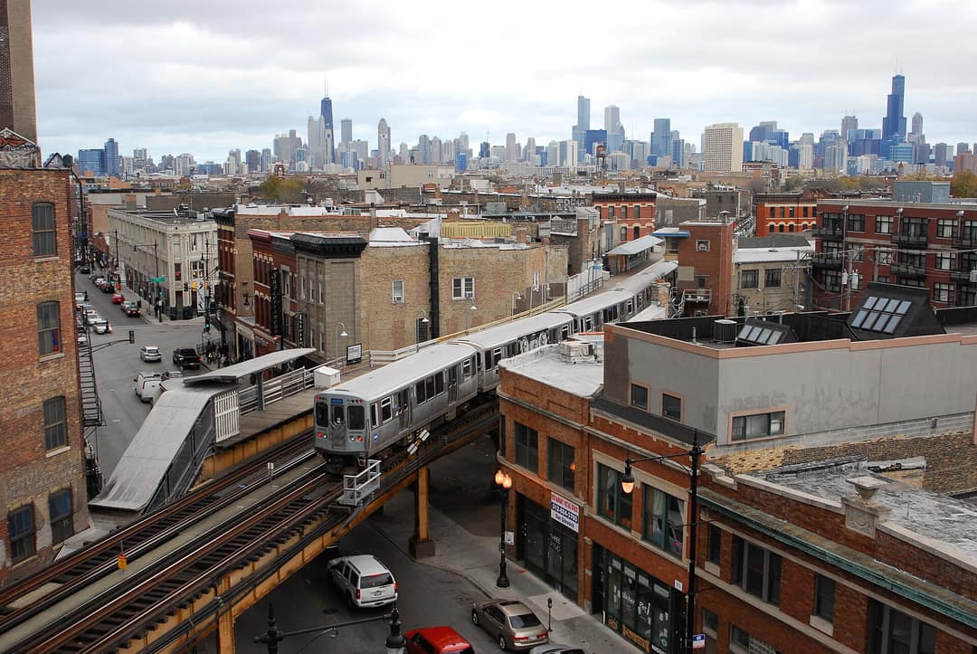 West SideWicker ParkSix corners of shops, music and Victorian mansions.
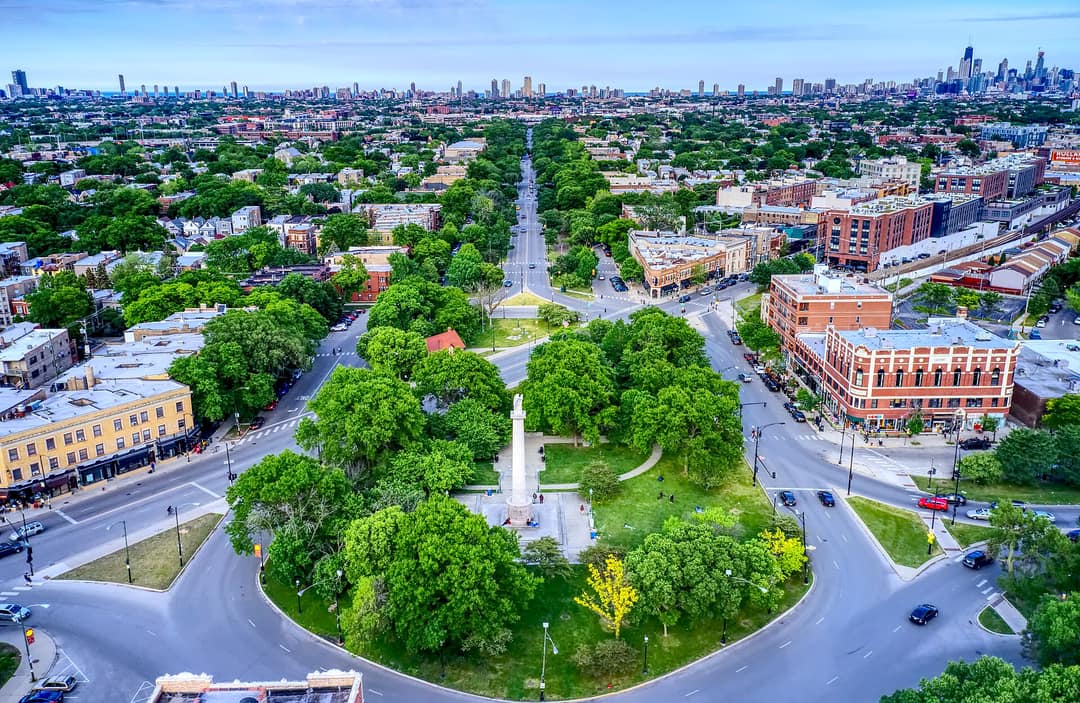 North SideLogan SquareBoulevards, greystones and the Sunday market.
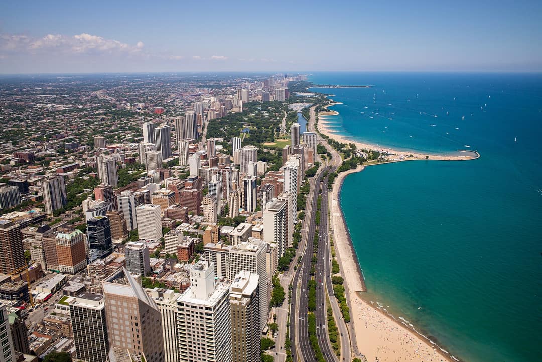 CentralGold CoastMansions, Oak Street and the lake at the end of the block.
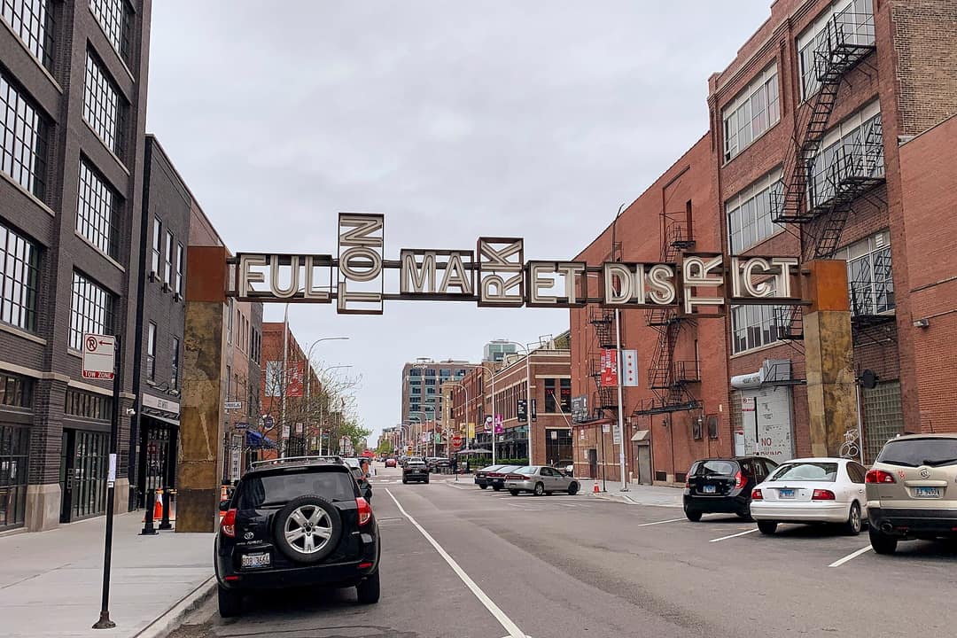 West SideWest LoopFulton Market, Restaurant Row and loft living.
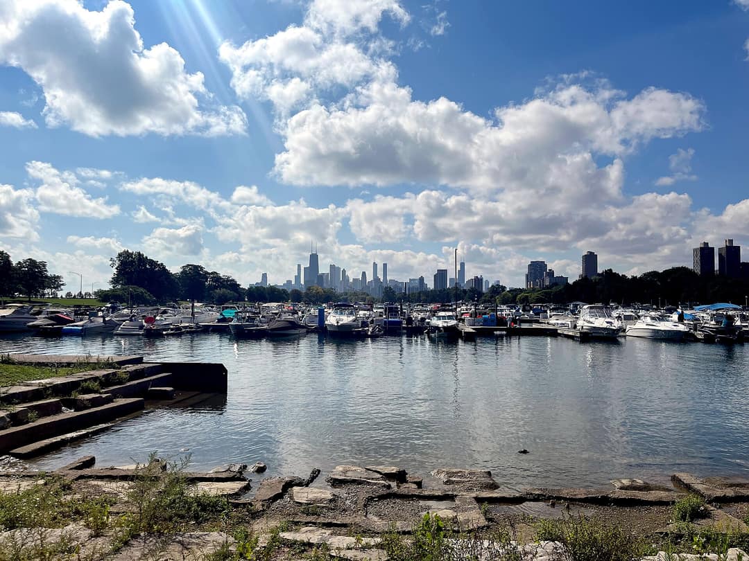 North SideLakeviewBelmont Harbor, Southport and Northalsted.
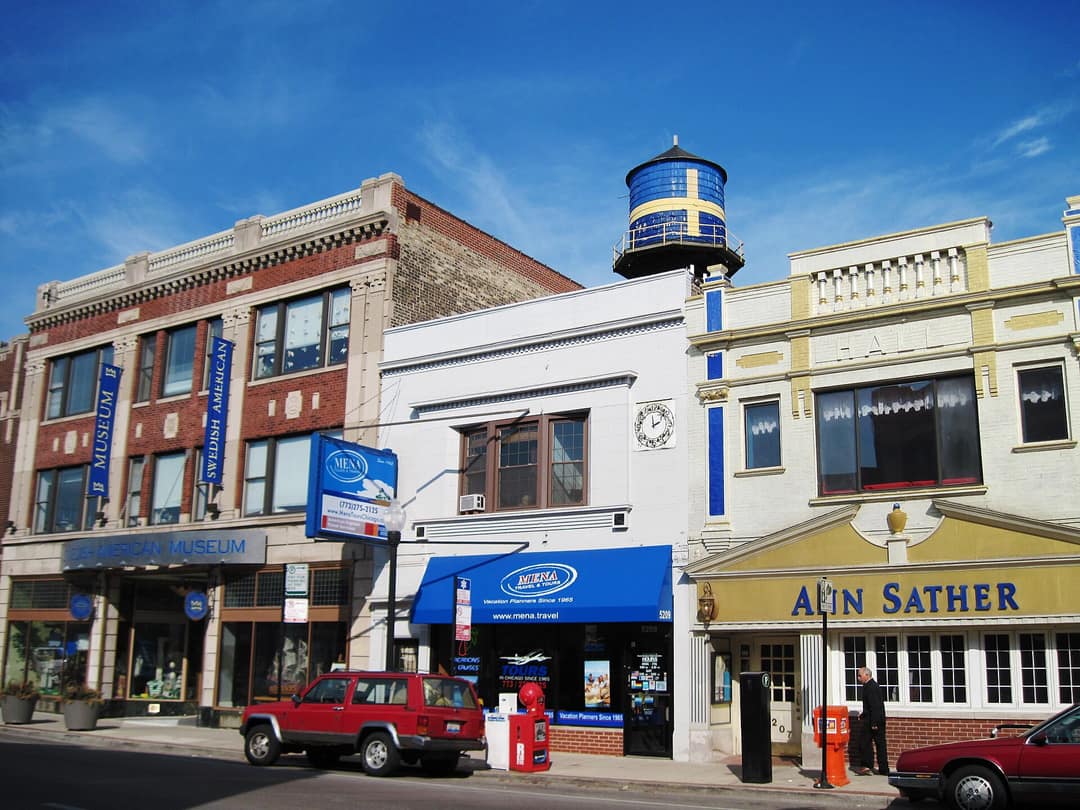 Far North SideAndersonvilleClark Street, independent shops and Swedish history.
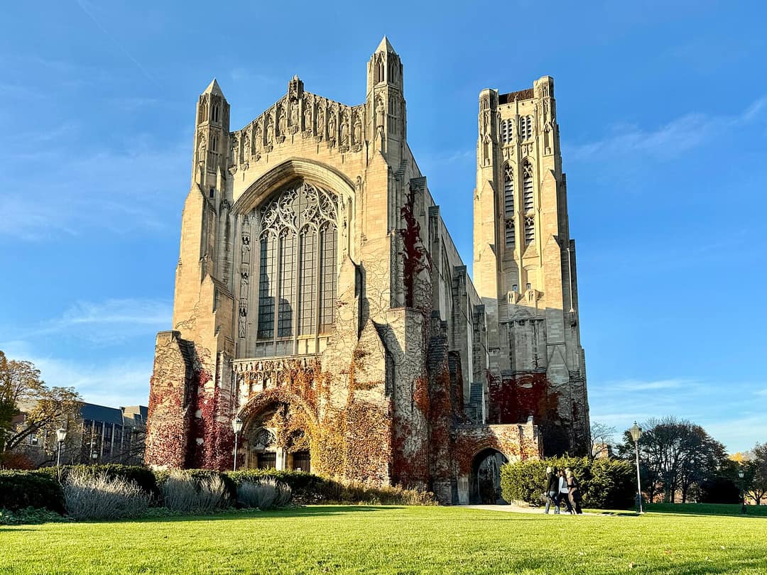 South SideHyde ParkThe university, the Point and Frank Lloyd Wright.
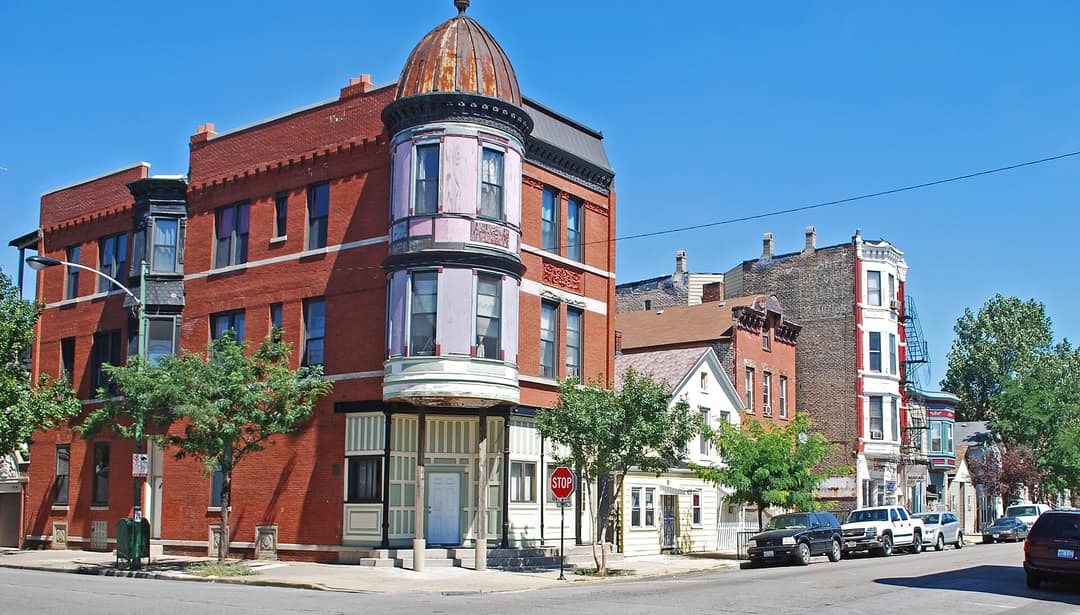 West SidePilsenMurals, 18th Street and the National Museum of Mexican Art.
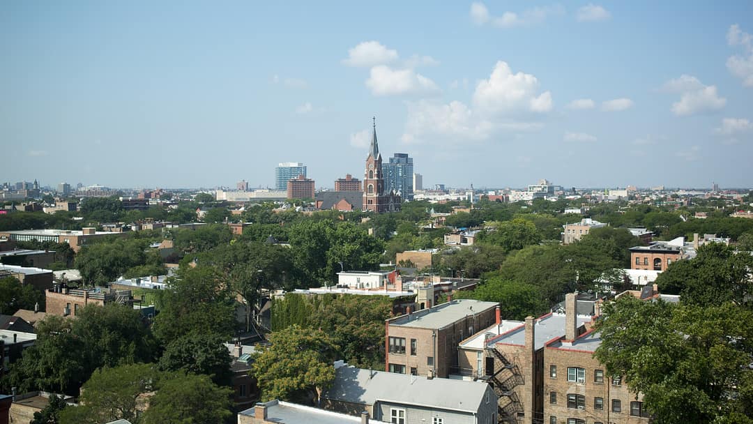 CentralOld TownComedy, cottages and the Old Town Triangle.
The map
Every neighborhood, colored by side.
Tap one to learn it. Switch the colors to match what you care about, or to distance from work. Turn on 3D, or ride the L.
Sides of the city
How Chicago maps itself.
Match
What matters to you?
Distance
How far from work?
Ride the L
Pick two. Ride the tracks.
Routes follow the L tracks on the city's map. No times; check the CTA for schedules.
Guides
The neighborhoods we know best.
Written by our team: the homes, the places, and how you get around.
-
North Side
Lincoln Park
Lincoln Park takes its name from the city's largest public park, which runs along its lakefront with a free zoo, a nature museum, beaches and the Lakefront Trail. Inland, the streets around Armitage, Halsted and Webster mix shops, restaurants and theaters with tree-lined residential blocks. 2.9 mi to the LoopRedBrownPurple -
Central
Old Town
Comedy, cottages and the Old Town Triangle. 1.9 mi to the LoopRedBrownPurple -
Central
Gold Coast
Mansions, Oak Street and the lake at the end of the block. 1.4 mi to the LoopRed -
 Central
Streeterville
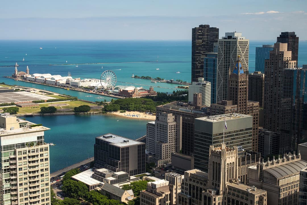
High-rises between Michigan Avenue and the lake. 1.0 mi to the Loop -
 Central
River North
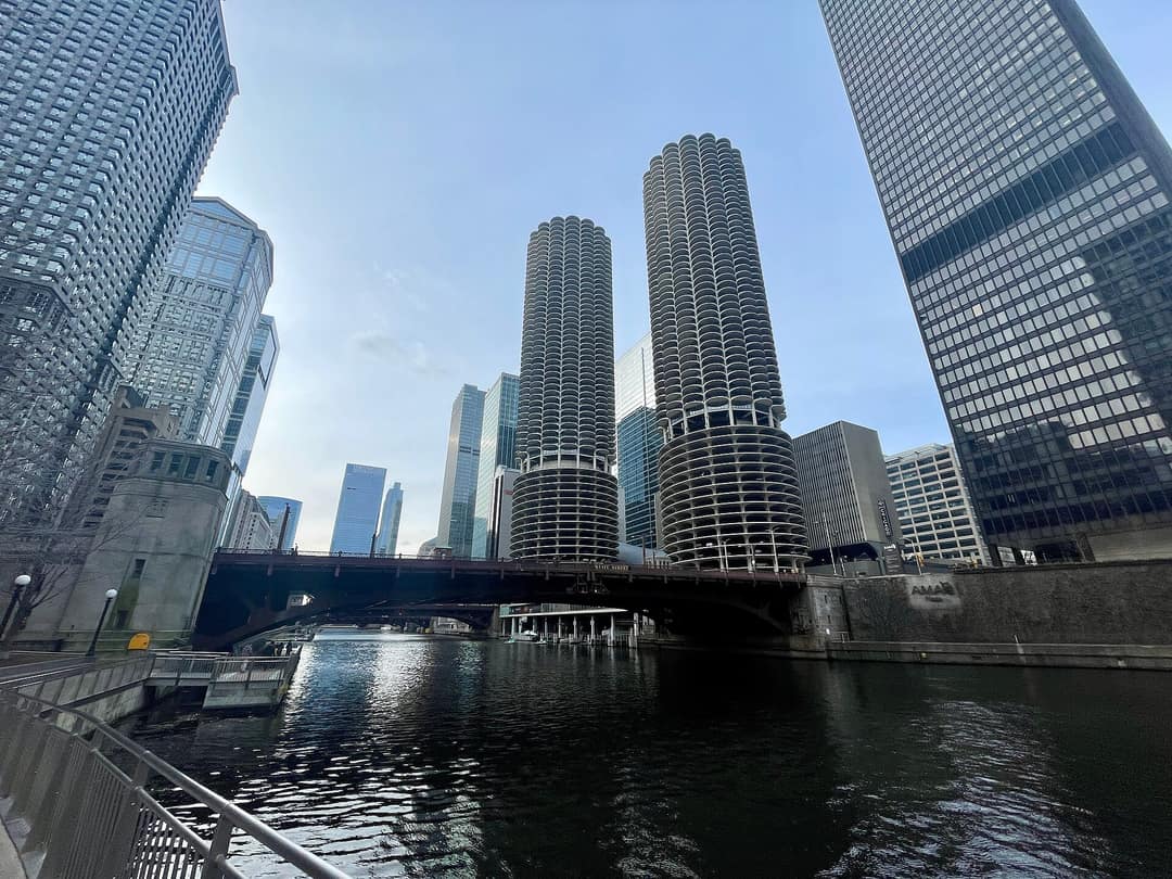
Galleries, lofts and the busiest dining scene downtown. 1.2 mi to the LoopRedBrownPurple -
West Side
West Loop
Fulton Market, Restaurant Row and loft living. 1.1 mi to the LoopBlueGreenPink -
 Central
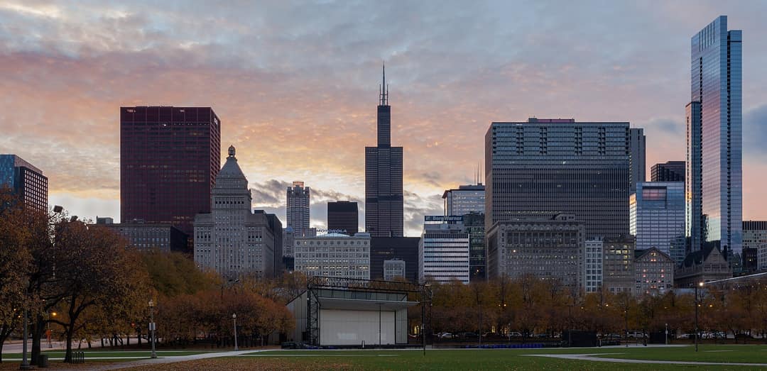
The Loop
Where every L line meets, with Millennium Park out front. 0.3 mi to the LoopRedBlueBrownGreenOrangePinkPurple -
West Side
Wicker Park
Six corners of shops, music and Victorian mansions. 3.1 mi to the LoopBlue -
 West Side
Bucktown
Single-family streets along the 606. 3.6 mi to the LoopBlue -
North Side
Logan Square
Boulevards, greystones and the Sunday market. 4.8 mi to the LoopBlue -
 West Side
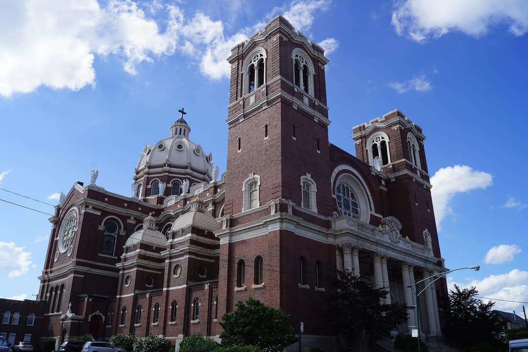
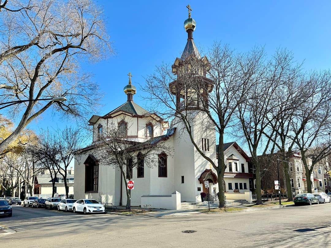
Ukrainian Village
Church domes, two-flats and Chicago Avenue dining. 2.8 mi to the Loop -
North Side
Lakeview
Belmont Harbor, Southport and Northalsted. 4.3 mi to the LoopRedBrownPurple -
 North Side
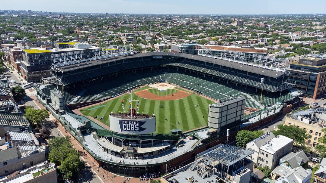
Wrigleyville
Wrigley Field and the blocks around it. 4.8 mi to the LoopRedPurple -
 North Side
North Center
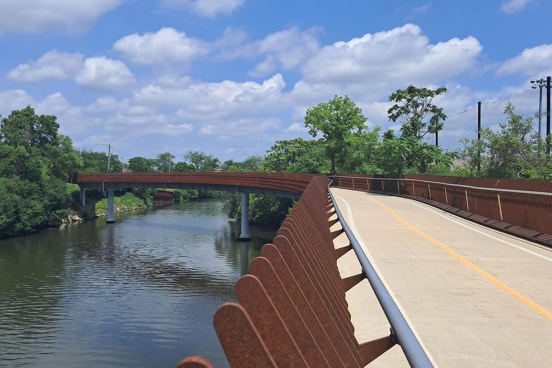
Roscoe Village, Lincoln Avenue and the river. 5.2 mi to the LoopBrown -
 Far North Side
Lincoln Square
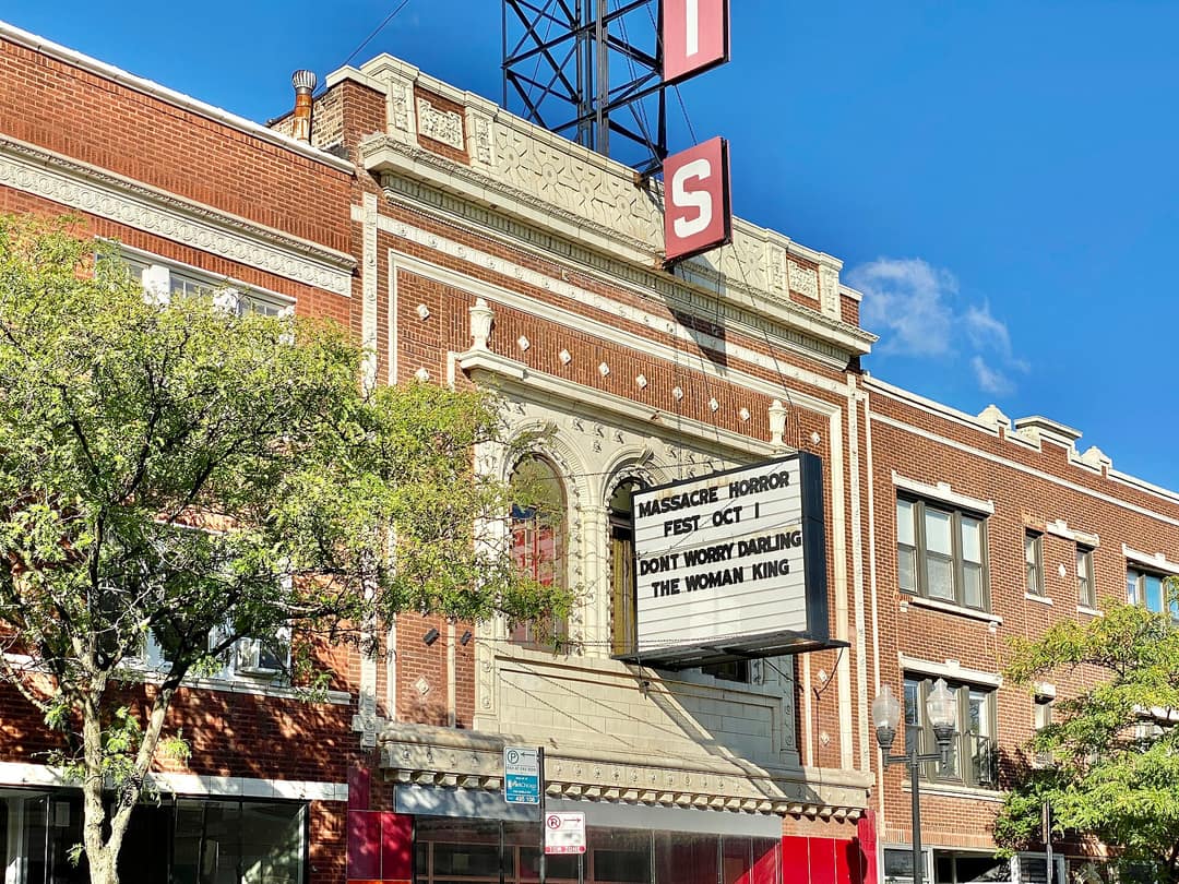
A walkable main street with German roots. 6.9 mi to the LoopBrown -
Far North Side
Andersonville
Clark Street, independent shops and Swedish history. 6.9 mi to the Loop -
 Far North Side
Edgewater
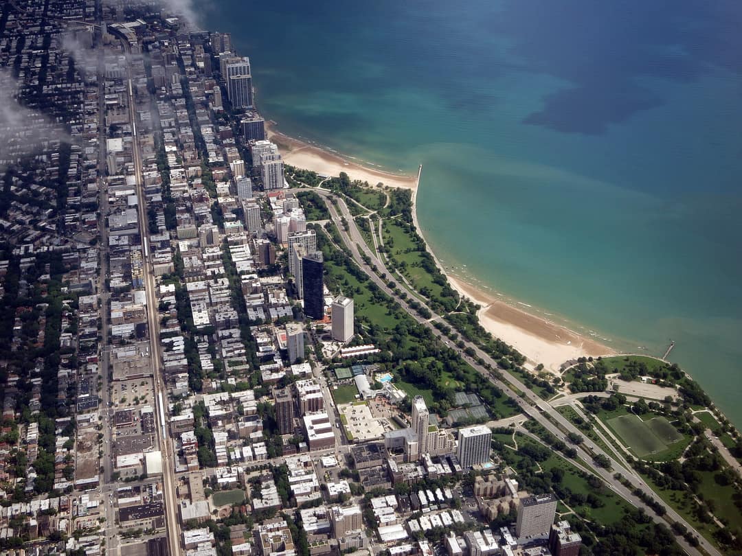
Lakefront towers, beaches and the Bryn Mawr district. 7.4 mi to the LoopRedPurple -
 Far North Side
Uptown
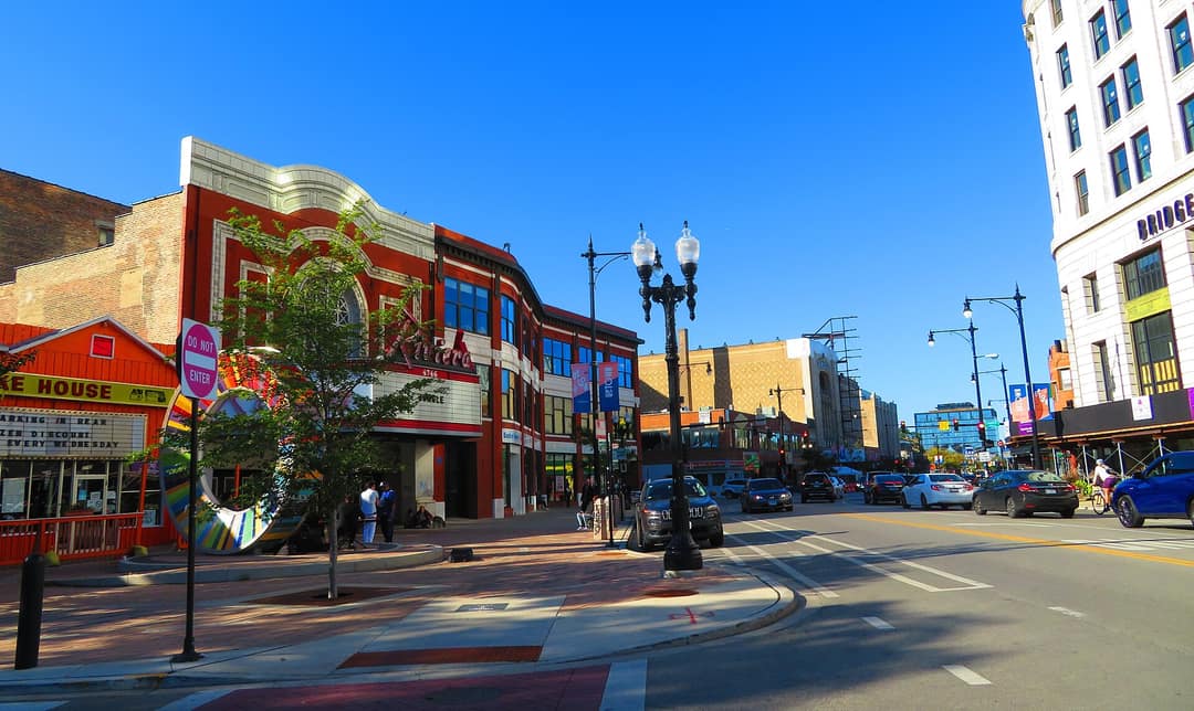
Jazz, historic theaters and Montrose Beach. 5.8 mi to the LoopRedPurple -
South Side
Hyde Park
The university, the Point and Frank Lloyd Wright. 6.5 mi to the Loop -
West Side
Pilsen
Murals, 18th Street and the National Museum of Mexican Art. 3 mi to the LoopOrangePink
Compare
Side by side.
Up to three at once. Add more from the guides or the map.
The whole city
All 98, by side.
Guides are linked. Tap any other to find it on the map.
Northwest Side
South Side
Southwest Side
Far Southwest Side
Far Southeast Side
Thinking about a move?
Tell us how you live. We'll show you where.
Our agents work in every one of these neighborhoods. Tell us what matters and we will put a short list in front of you, homes included.
Boundaries follow the City of Chicago's neighborhood map; locals draw some edges differently. Distances are straight-line miles. We describe places, homes and transit, not the people who live there. For schools, the CPS School Locator shows the schools for any address. Map data © OpenStreetMap contributors.
Photos via Wikimedia Commons: South Pond and Nature Boardwalk, Lincoln Park by Chris6d, CC BY-SA 4.0; Milwaukee, North and Damen by Nitram242, CC BY 2.0; Illinois Centennial Monument by Moses8910, CC BY-SA 4.0; Oak Street Beach and Lake Shore Drive by Roman Boed, CC BY 2.0; Fulton Market District by Bex Walton, CC BY 2.0; Belmont Harbor by TheWxResearcher, CC BY-SA 4.0; Clark Street and the Swedish American Museum by Zagalejo, Public domain; University of Chicago (Rockefeller Memorial Chapel) by Warren LeMay, CC BY-SA 2.0; Pilsen Historic District by Andrew Jameson, CC BY-SA 3.0; St. Michael Church and the Old Town Triangle by Victor Grigas, CC BY-SA 3.0; Navy Pier, Ohio Street Beach and Milton Lee Olive Park by Roman Boed, CC BY 2.0; Marina City and the Chicago River by GregMcCollum, CC0; Grant Park by Diego Delso, CC BY-SA 3.0; St. Mary of the Angels Church by Goldnpuppy, CC BY-SA 4.0; Holy Trinity Cathedral by Warren LeMay, CC BY-SA 2.0; Wrigley Field by Sea Cow, CC BY-SA 4.0; The North Branch at Riverview Bridge by AlphaBeta135, CC BY 4.0; Davis Theater, Lincoln Avenue by Warren LeMay, CC BY-SA 2.0; Osterman (Hollywood) Beach and Foster Beach by Edward Stojakovic, CC BY 2.0; Broadway and Lawrence (Riviera Theatre) by Chicagoshim, CC BY-SA 4.0.