To the Loop
1.1mi
Straight-line miles from the middle of West Loop.
Size
2.0sq mi
West Side
L lines
Through it
Living here
Life in West Loop.
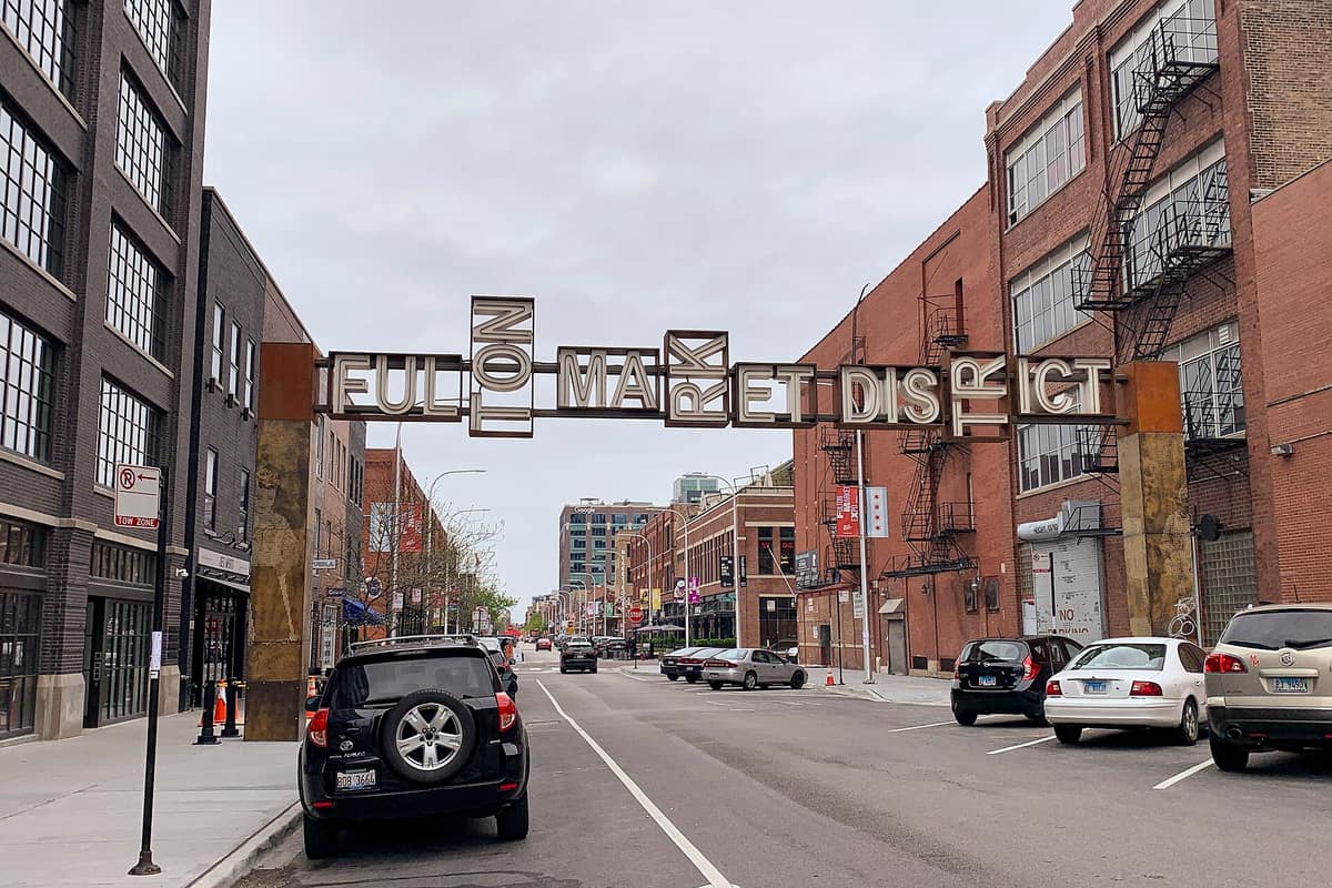
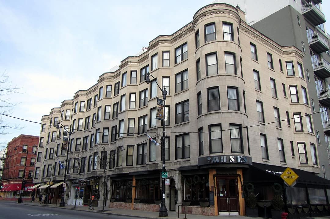
The West Loop turned its meatpacking and warehouse blocks into one of the city's busiest neighborhoods. Randolph Street's Restaurant Row and the Fulton Market District bring the dining, Greektown runs along Halsted, and Union and Ogilvie stations put Metra a walk away.
Mary Bartelme Park, with its gates and dog run, is the neighborhood park, and Skinner Park sits to the south.
RestaurantsNights outNew constructionEasy without a carHigh-rise living
The homes
What you'll find.
Timber and brick loft conversions, new mid- and high-rise condos, and townhomes on the quieter blocks.
Loft condosNew construction condosTownhomesHigh-rises
Getting around
How far is everything?
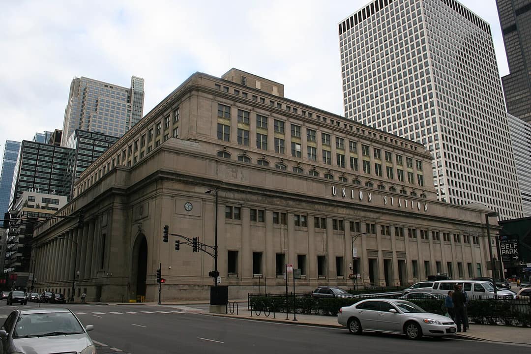
The Blue, Green and Pink lines run through West Loop. The Red, Brown, Orange and Purple lines run just past its edge. Union Station and Ogilvie Transportation Center are on the east edge for Metra, and the Kennedy and Eisenhower meet nearby.
Straight-line miles. Tap one to draw it on the map.
Places to know
Start here.
- Food and drinkFulton Market DistrictRestaurants and offices in old market buildings.
- Food and drinkRandolph StreetThe city's Restaurant Row.
- Food and drinkGreektownGreek restaurants along Halsted.
- ParksMary Bartelme ParkNeighborhood park with a dog run and splash pad.
- LandmarksUnion StationMetra and Amtrak in the 1925 building on Canal.
Listed with us
Homes in West Loop.

Next door
Around West Loop.
Questions
Good to know.
What is West Loop known for?
The West Loop turned its meatpacking and warehouse blocks into one of the city's busiest neighborhoods. Randolph Street's Restaurant Row and the Fulton Market District bring the dining, Greektown runs along Halsted, and Union and Ogilvie stations put Metra a walk away.
What kind of homes are in West Loop?
Timber and brick loft conversions, new mid- and high-rise condos, and townhomes on the quieter blocks.
How do you get downtown from West Loop?
West Loop is about 1.1 miles from the Loop as the crow flies. The Blue, Green and Pink lines run through West Loop. The Red, Brown, Orange and Purple lines run just past its edge. Union Station and Ogilvie Transportation Center are on the east edge for Metra, and the Kennedy and Eisenhower meet nearby.
Which neighborhoods are next to West Loop?
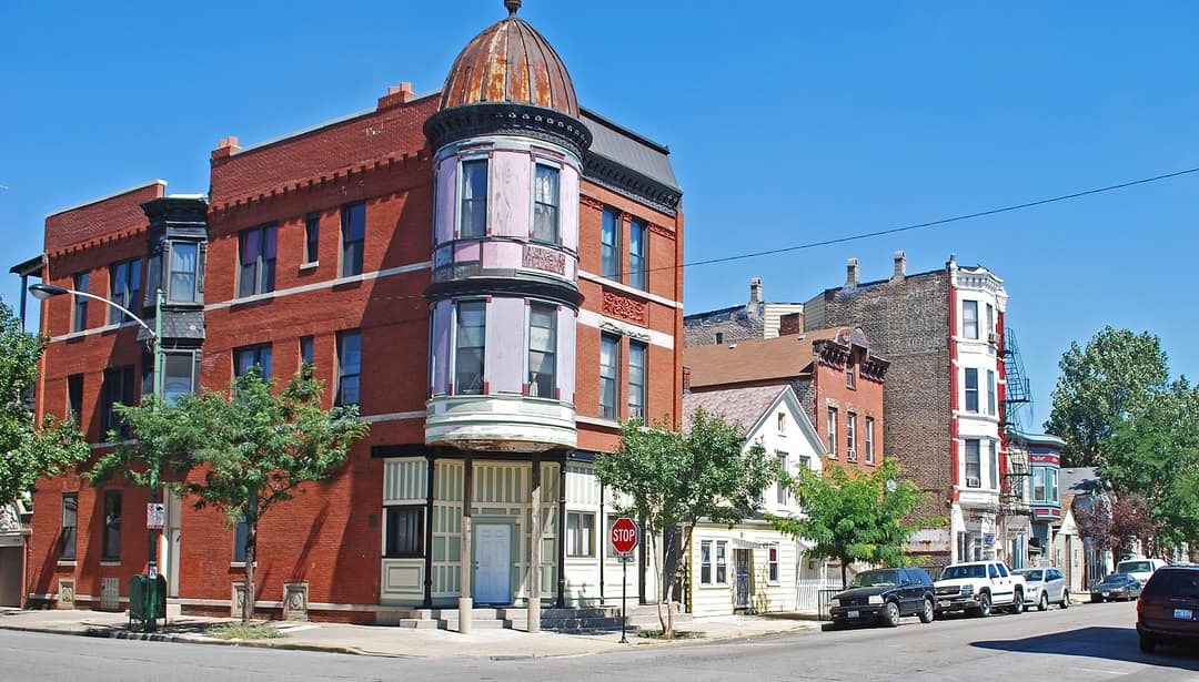
West Loop borders Pilsen, River North, The Loop, Chinatown, Little Italy and UIC, Near South Side, United Center and West Town.
How do I find the schools for a home in West Loop?
Chicago Public Schools' School Locator shows the neighborhood schools for any address. We're happy to look one up with you for a home you're considering. Open the School Locator.
Looking in West Loop?
Let us show you around.
Our agents know West Loop block by block. Tell us what you're after and we'll line up the homes, on the market and off it.
Boundaries follow the City of Chicago's neighborhood map; locals draw some edges differently. Distances are straight-line miles. We describe places, homes and transit, not the people who live there. For schools, the CPS School Locator shows the schools for any address. Map data © OpenStreetMap contributors.
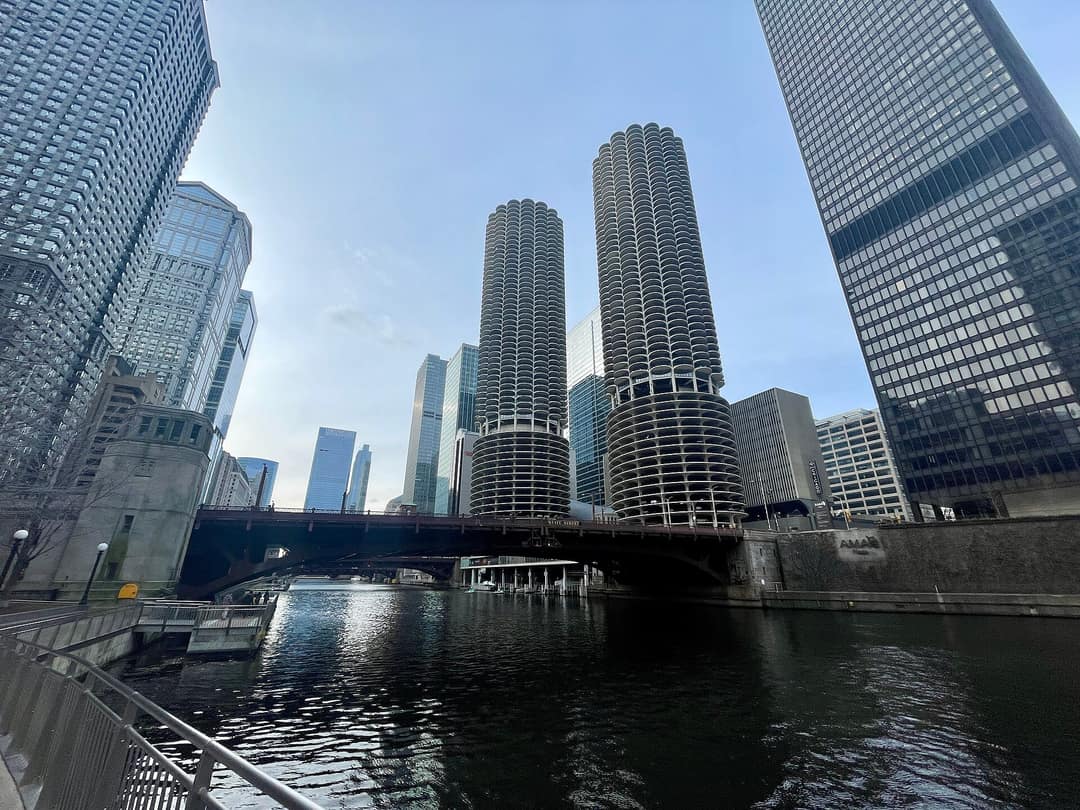
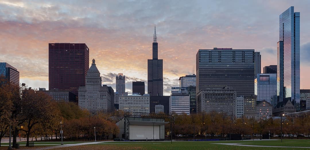
Photos via Wikimedia Commons: Fulton Market District by Bex Walton, CC BY 2.0; Greektown by Bohao Zhao, CC BY 3.0; Union Station by Thshriver, CC BY-SA 3.0; Pilsen Historic District by Andrew Jameson, CC BY-SA 3.0; Marina City and the Chicago River by GregMcCollum, CC0; Grant Park by Diego Delso, CC BY-SA 3.0.